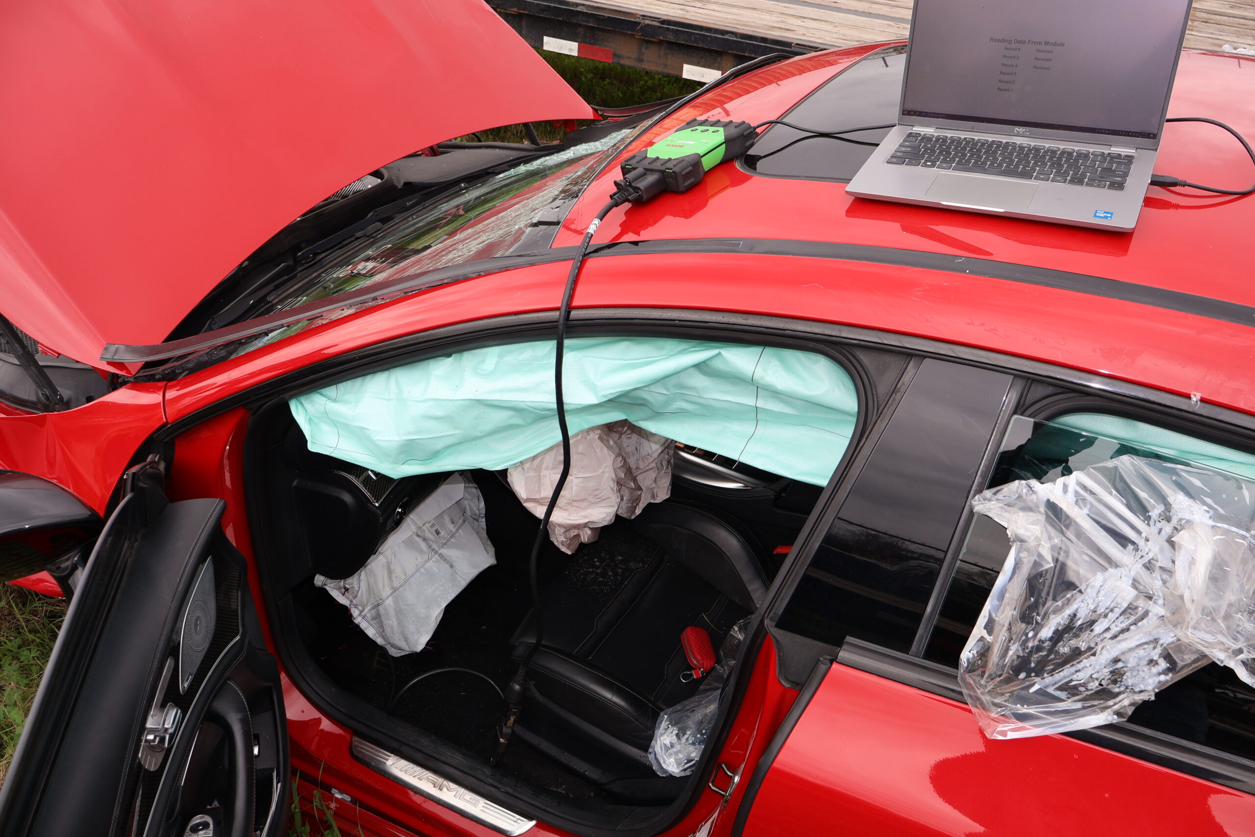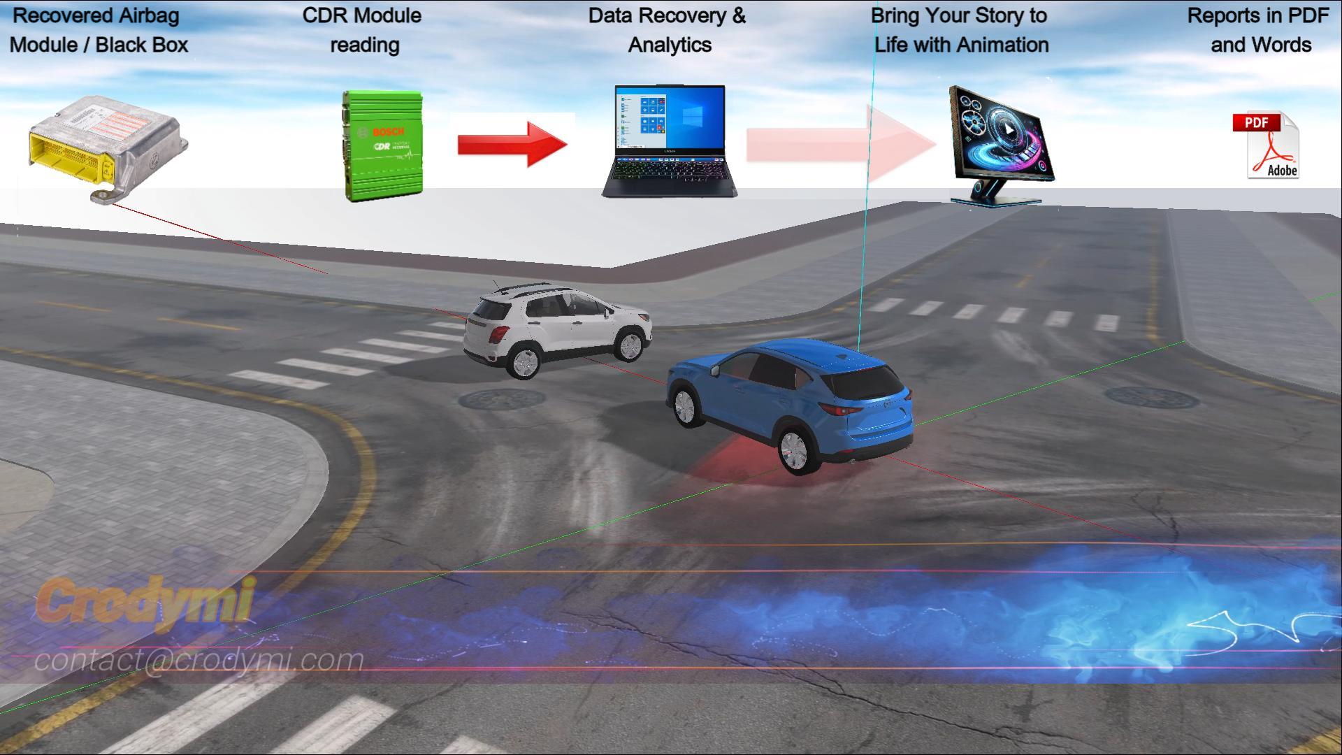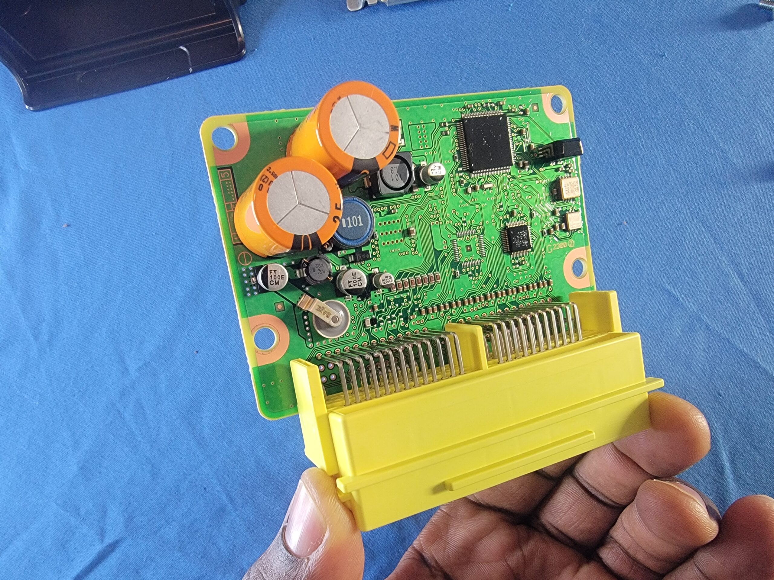
EDR Data Retrieval & ECU/ACM Repair
Black-box downloads plus module repair for speed, brake, and throttle insights.
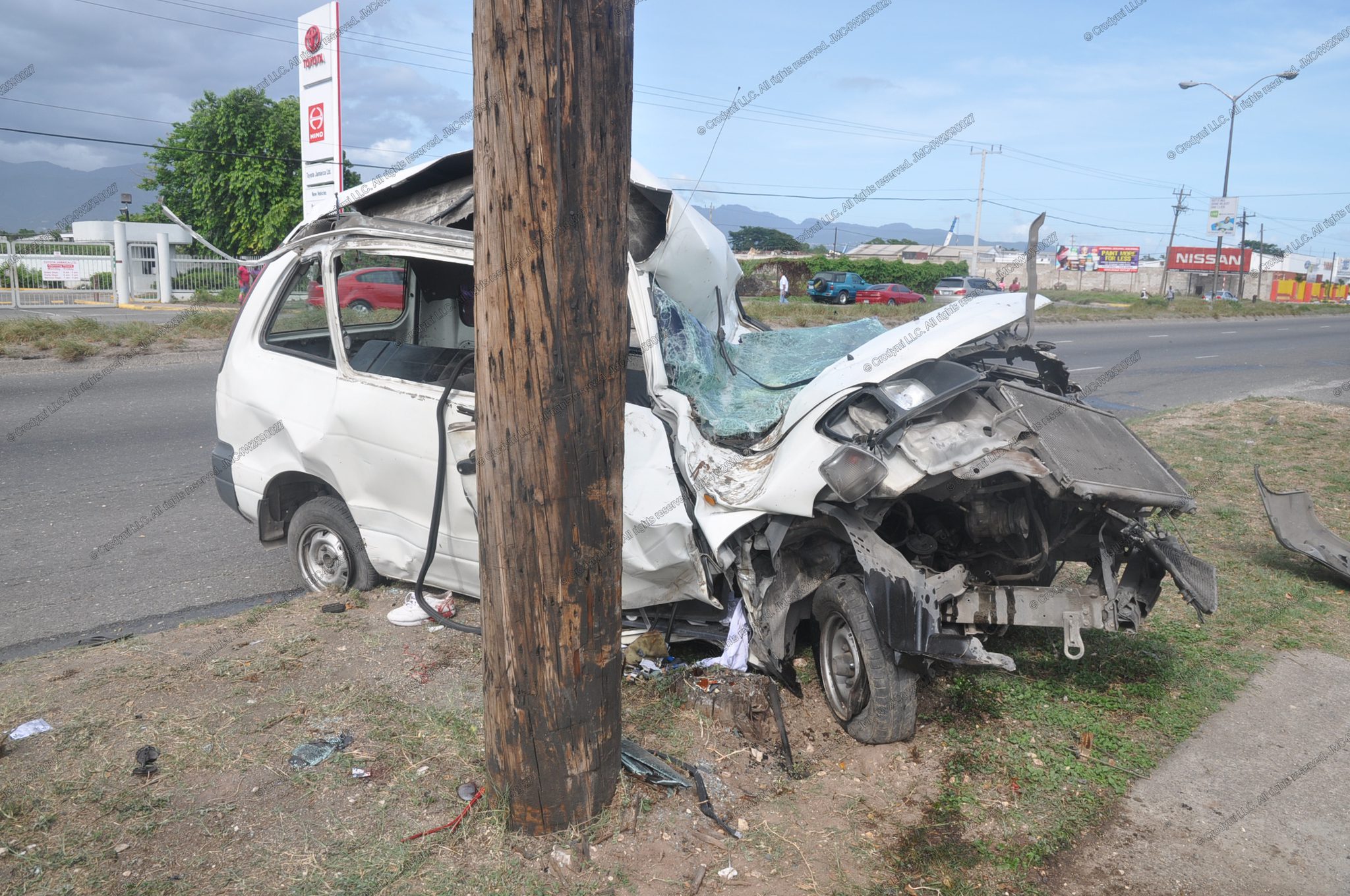
See More →Data-driven investigations, courtroom-ready visuals, and expert reports—delivered fast and defensibly.
Black-box downloads plus module repair for speed, brake, and throttle insights.
See More →Expert retrieval & forensic analysis using OBD-II, direct-to-module extraction, and table-top imaging.
See More →Comprehensive crash analysis reports integrating physics, digital evidence, and scene data.
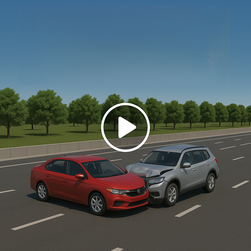
See More →Clear, precise animations of each collision—including vehicles not directly involved in the impact.
See More →Courtroom-ready 3D animations clearly illustrating complex events and timelines.
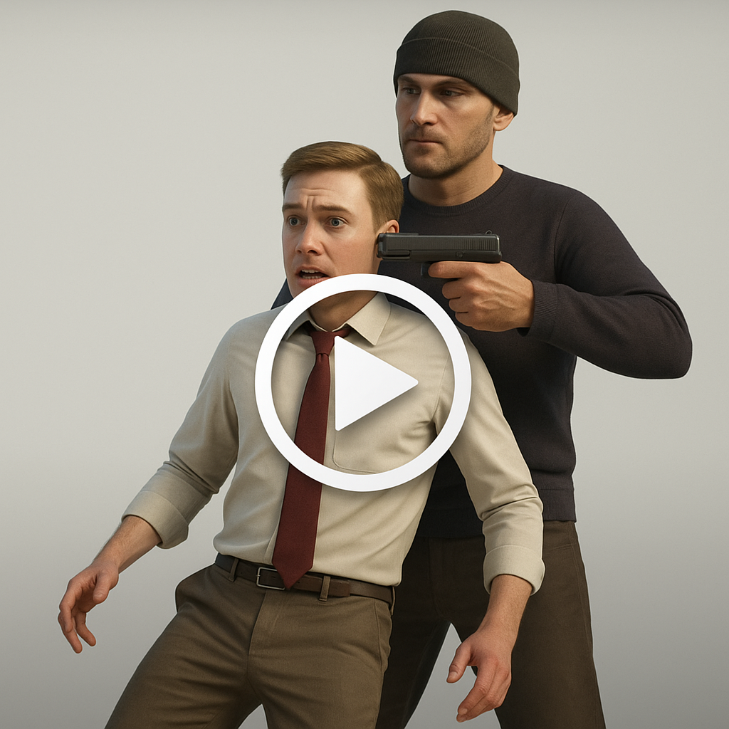
See More →Detailed forensic animations visualizing crime scenes and high-profile incidents—built to support legal narratives with precision.
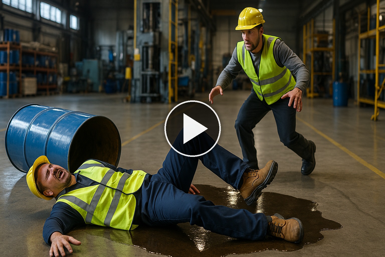
See More →Courtroom-ready animations for home, workplace, and public incidents—clarifying time–distance, visibility, lighting, and causation using CCTV.
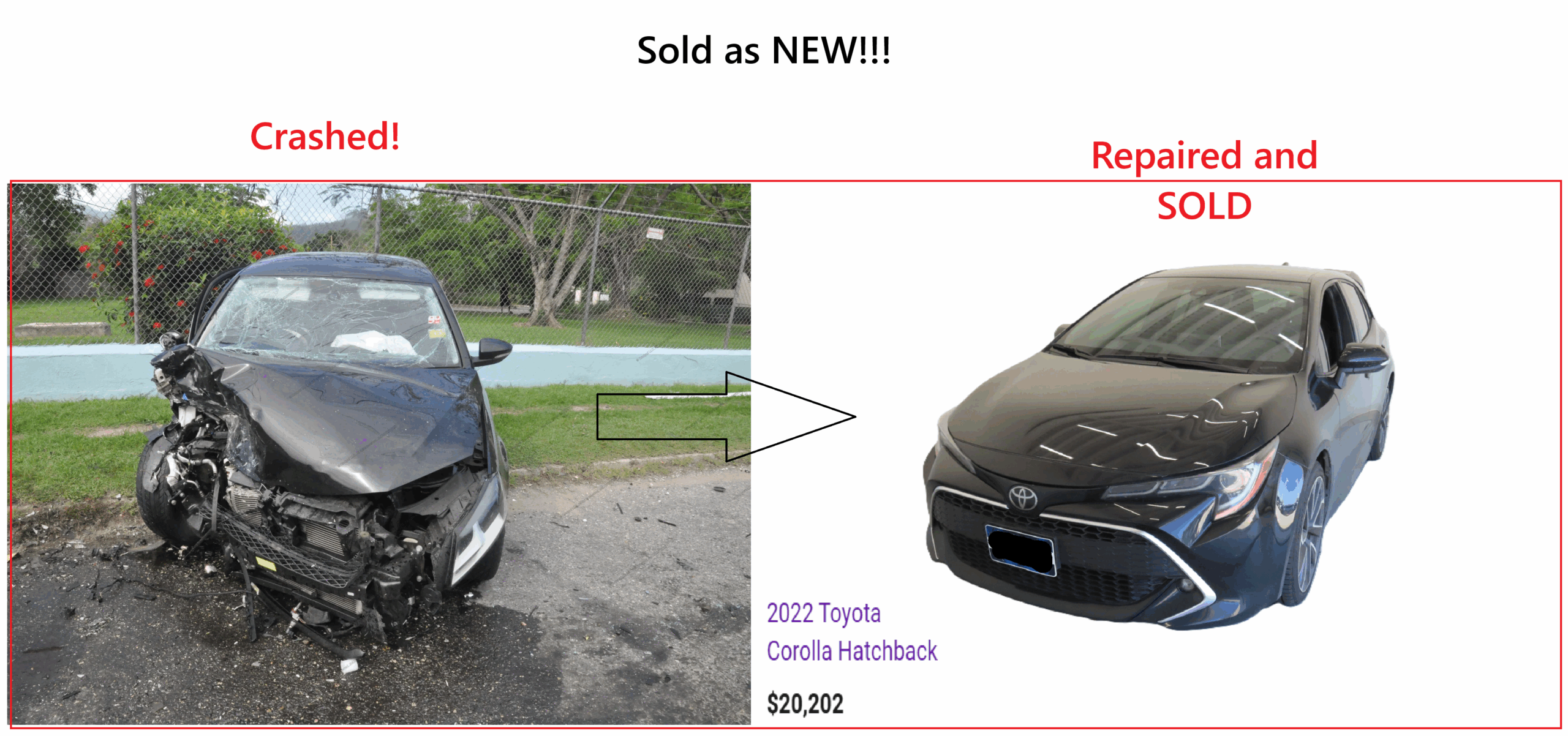
See More →Comprehensive incident history for informed purchasing, selling, or case evaluation.
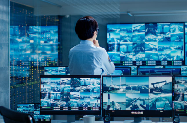
See More →Secure acquisition and analysis of video evidence from cameras, drones, and satellites.
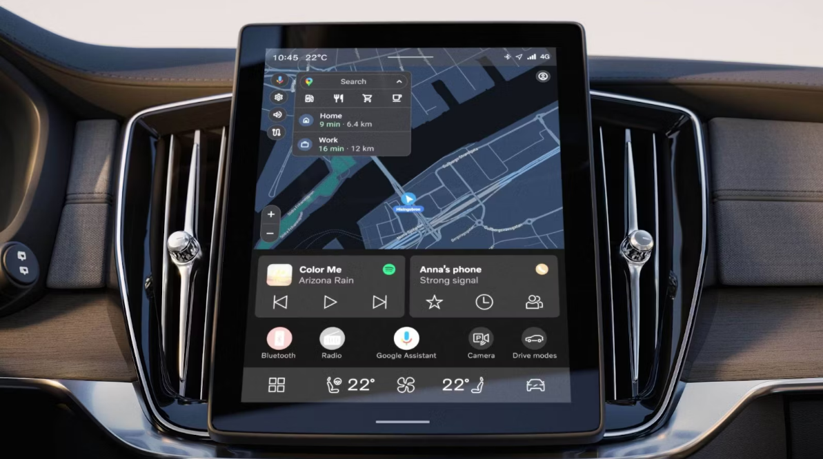
See More →Extraction of GPS logs, messages, and app data from vehicle infotainment units.
See More →Strategic data collection and analytics to improve transportation safety and efficiency.
See More →Industry-grade valuation comparisons for litigation, insurance, and resale decisions.
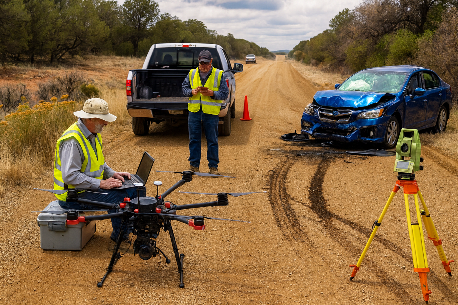
See More →High-fidelity digital mapping & virtual 3D reconstructions—ideal for legal, insurance, and safety investigations.
See More →High-precision digital maps and forensic diagrams for investigations and litigation.
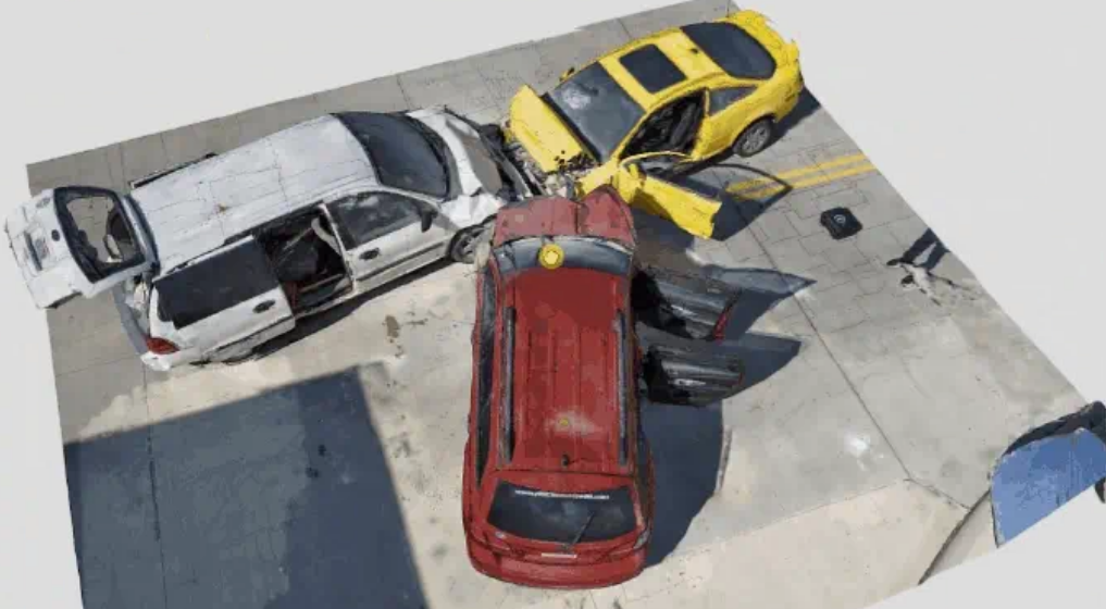
See More →True-to-scale 3D models of vehicles, evidence, and scenes—preserving every dimension for accurate analysis.
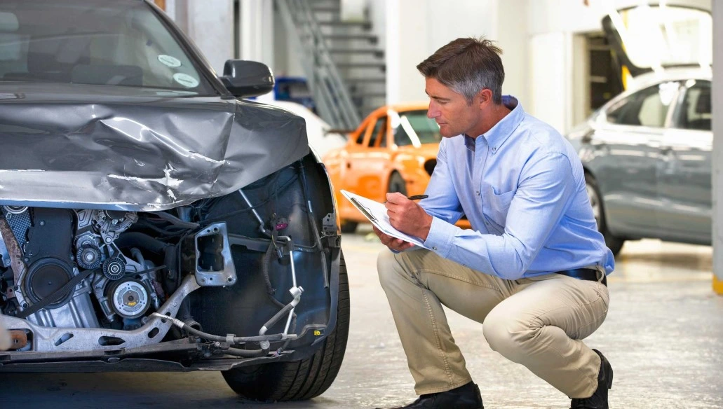
See More →Accurate damage assessments using OEM standards and advanced estimating methods.
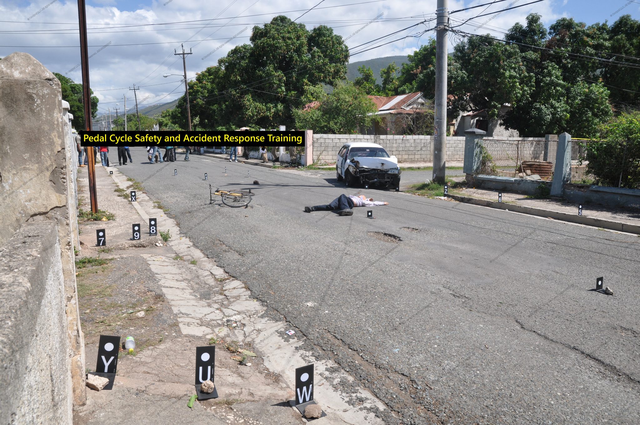
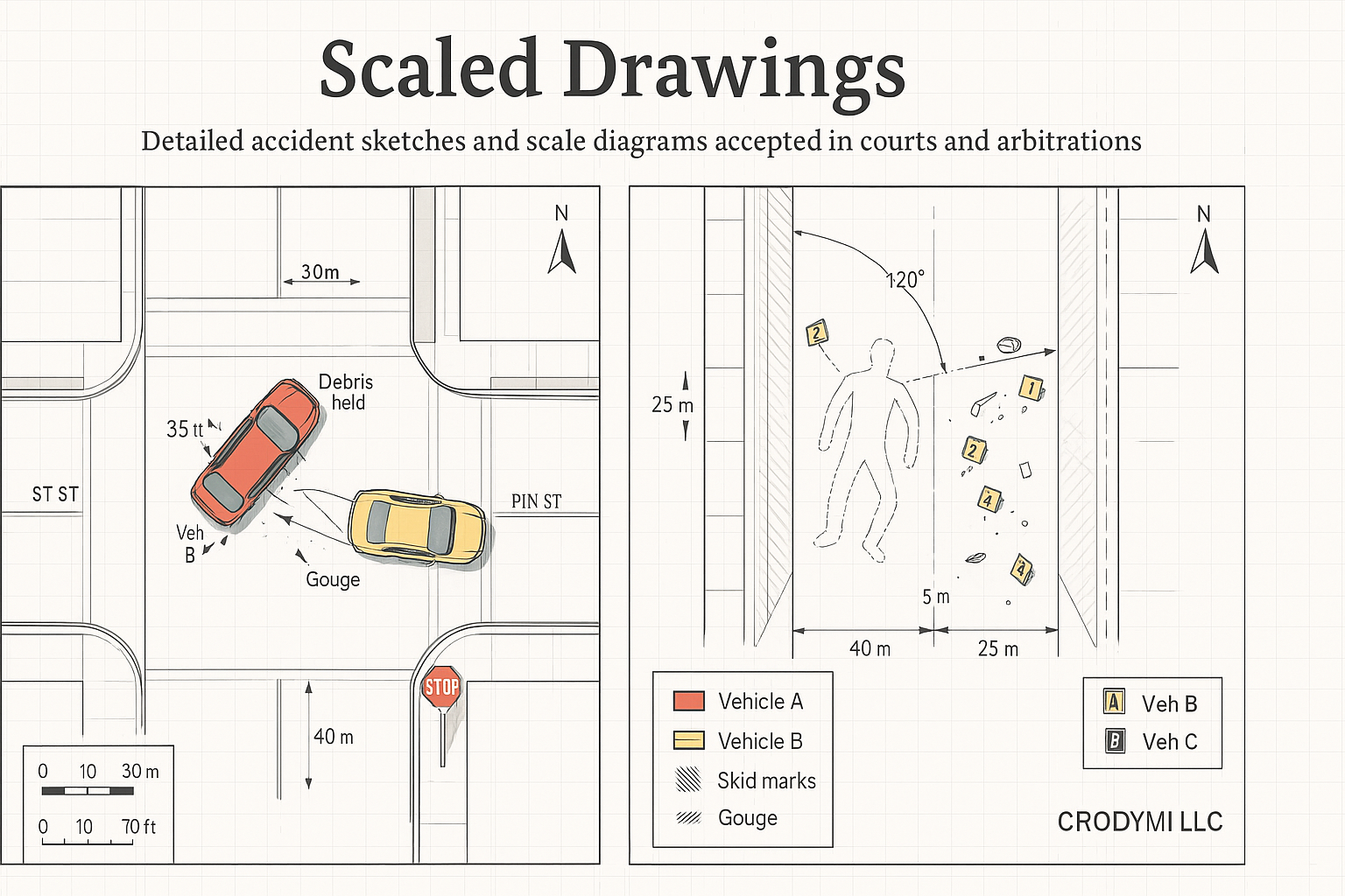
See More →Detailed accident sketches and scale diagrams accepted in courts and arbitrations.
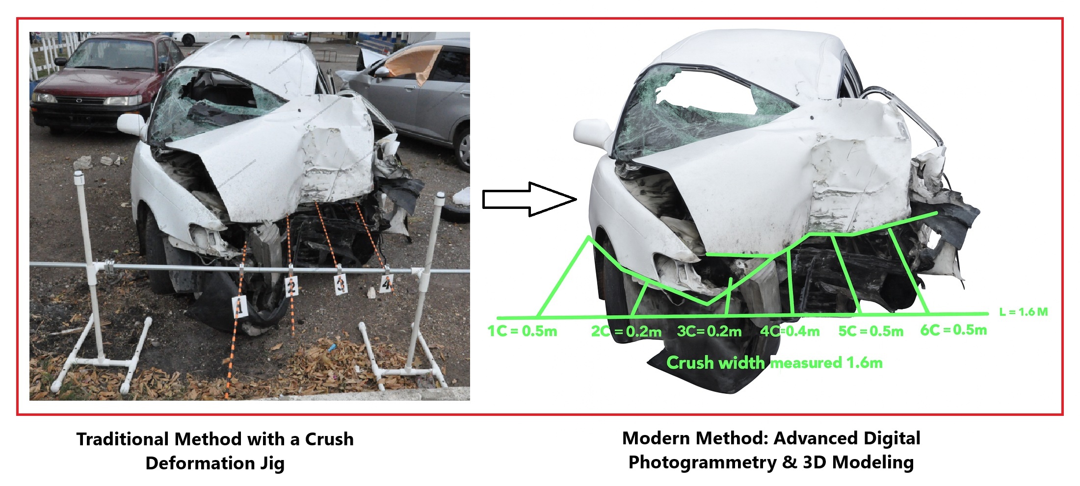
See More →Turn photos into scaled accident reconstructions for accurate analysis, litigation support, and insurance evaluations.
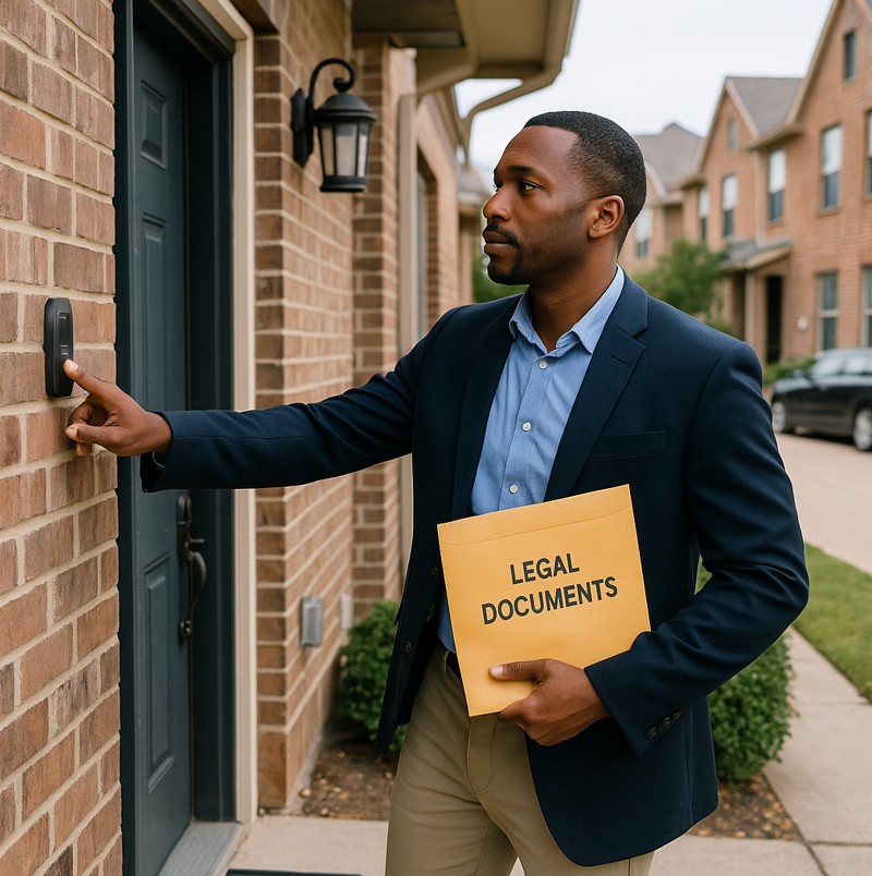
See More →Fast, court-ready process serving. Same-day rush; GPS/photo proof.
See More →Get a fast, defensible deliverable—backed by clear methods and expert testimony.